





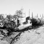


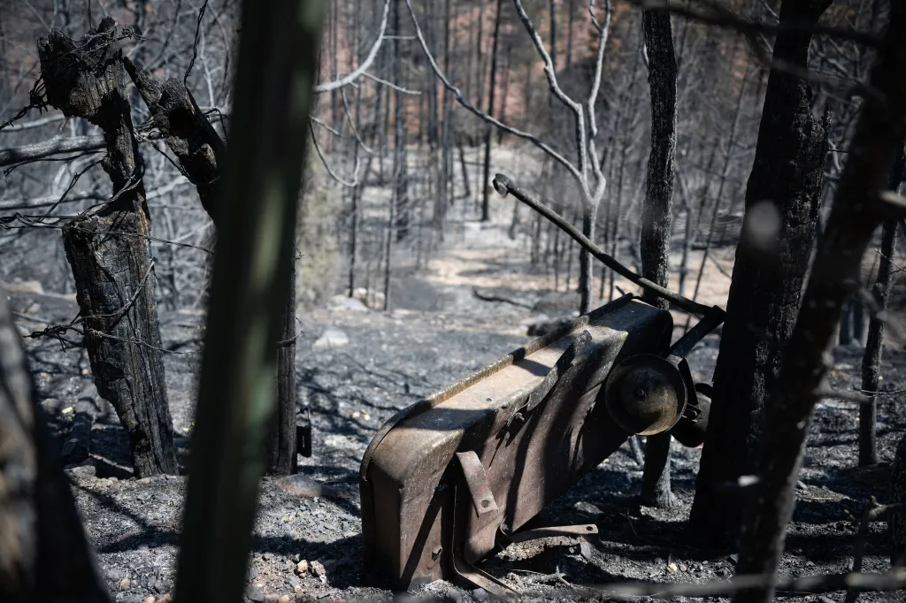
The Aspen Acres fire in Pueblo and Custer counties held steady overnight and remained less than half-contained as of Friday morning, fire officials said.
Read more Denver Councilwoman Shontel Lewis will run against Mayor Mike Johnston in 2027
As of 7:15 a.m. Friday, the 99,820-acre wildfire was still about 48% contained, making the situation essentially stable since Thursday night, according to a Facebook post by the fire’s incident management team.
Aspen Acres is one of Colorado’s six large, active fires that have consumed more than 211,000 acres, or 330 square miles.
Jump to: Aspen Acres fire | Gold Mountain fire | Elk fire | Fishhook fire | Ferris fire | Willow fire | Air quality alerts
Aspen Acres fire in Custer and Pueblo counties
Colorado’s largest active wildfire, and the seventh-largest fire in the state’s recorded history, stabilized this week, growing less than 800 acres from Tuesday to Thursday and remaining unchanged overnight Thursday into Friday. The fire has burned the equivalent of 155 square miles.
“We’re managing to hold it where we want it at this time,” Ben Wagner, operations chief for Northern Rockies Team 6, said in a video Friday morning.
The Aspen Acres fire has destroyed close to 900 structures, Operations Section Chief Brad Washa said during a Tuesday night community meeting. It’s unclear how many of those are homes, but law enforcement in Pueblo and Custer counties previously announced that at least 337 homes and four businesses had been destroyed.
Residents of Pueblo and Custer counties who live north of the fire remained under evacuation orders Friday morning, as did people living between the Pueblo County line and Bondurant Road east of the fire. People south of Highway 96 and north of Highway 78 were allowed to return to their homes.
Mandatory evacuations remained in place for private and U.S. Forest Service land in Huerfano County on Thursday evening. Sheriff’s officials issued mandatory evacuations on the fire’s western edge, including where Williams Creek crosses into the national forest, along the creek to the intersection of Huerfano County Road 630, north to County Road 636, and west to County Road 634/Gardner Road.
The Bartlett Trail subdivision and the surrounding area are also under evacuation, county officials said.
The following roads remained closed for the fire on Friday morning, according to the Colorado Department of Transportation:
- Colorado 165 in both directions between Colorado 96 and Grand Vista Drive
- Colorado 78 in both directions between Colorado 165 and Pueblo Mountain Park Road
The exact origin of the fire remains under investigation, but officials believe it was human-caused.
The incident management team for the fire asked people returning to their homes to hold off on disposing any items other than food for the time being while they work out with a plan to deal with the volume of ash, dead vegetation and other debris from the fire.
Power company’s equipment was ‘substantial factor’ in starting Aspen Acres fire, lawsuit alleges
Gold Mountain fire near Ouray
As of Friday morning, the Gold Mountain fire north of Ouray had consumed an estimated 37,734 acres, or roughly 59 square miles, with 13% containment.
More than 870 personnel were on scene to fight the wildfire, according to Rocky Mountain Complex Incident Management Team 2, which is leading the fire response. A nearby airbase is supporting crews working both Gold Mountain and the nearby Elk fire, the team said Thursday night.
The possibility of thunderstorms Friday will increase hazards for firefighters, as high winds could drive flames toward them and heavy rain could cause mudslides in burned areas, incident commander Rodney Redinger said in a Facebook post on Friday morning. The forecast shows a 40% to 50% chance of “wetting rain” over the fire area, he said.
Mandatory evacuations remained in place on Friday morning for residents of Ouray and Gunnison counties north of the fire, according to the evacuation map.
The Ouray County evacuation zones included:
- All areas east of the junction of County Road 12 and County Road 12A to the national forest boundary
- The area east of US 550, north of County Road 8 and south of County Road 8A, east to the US Forest Service boundary and south to County Road 8B
- All Areas east of the forest boundary on County Road 8
- Forest Service land in Cow Creek, Big Cimarron and Silver Jack Basin areas, as well as lands east of US 550, south of Highway 50 and west of the east fork of the Cimarron.
In Gunnison County, the evacuation zone included the Bear Claw, Silver Jack, Eagle’s Rest, and Little Bighorn subdivisions.
Parts of Montrose County and Gunnison County adjacent to the evacuation zone were on pre-evacuation status.
Evacuated residents can seek shelter at the Ridgway Secondary School, 1200 Green St., according to county officials.
Read more Lettuce at Taco Bell in 5 states confirmed as a source of diarrhea-causing parasite
Officials aren’t sure what caused the fire, which started at about 5:30 p.m. on June 27.
Elk fire
The Elk Fire continued to grow, reaching 2,199 acres on Friday morning with no containment estimate.
The fire, sparked by lightning on July 9, had grown rapidly from 574 acres to 1,980 acres on Wednesday, according to the U.S. Forest Service.
The wildfire is burning north of Lake City and about 11 miles east of the Gold Mountain fire, according to Colorado fire officials.
Evacuations remained in place for Hinsdale County residents west of Colorado 149 and north of the Independence Gulch Trailhead to the county line on Thursday. The sheriff’s office ordered the evacuations on Wednesday after the fire’s unexpected growth. An updated evacuation map is available online.
County officials set up an evacuation center at the Lake City Armory, 230 N. Bluff St.
Fishhook fire
The Fishhook fire near Steamboat Springs remained at 347 acres with no estimated containment as of Friday morning.
The fire is in the Routt National Forest near Rabbit Ears Pass, roughly three miles from the Steamboat Ski Resort. Routt County officials closed the area bordered to the south and west by U.S. 40, to the east by the county line and to the north by Fish Creek and Mount Werner.
Pre-evacuation orders were also in effect on Friday morning south of the public safety closure, according to the county’s emergency map.
The cause of the fire remains under investigation.
Ferris fire in San Juan National Forest, near Dolores
As of Thursday evening, the Ferris fire had reached 64,881 acres, an increase of five acres from that morning, with about 59% of the fire contained, officials said.
The fire, in and near the San Juan National Forest north of Dolores, is the 10th-largest wildfire in recorded Colorado history, surpassing the 2013 West Fork fire, which consumed 58,570 acres, according to records from the Colorado Division of Fire Protection and Control.
Lightning sparked three fires in the San Juan National Forest on June 27. Those fires then grew and merged into the Ferris fire.
As of Wednesday morning, most of the evacuations had been lifted around the wildfire. Small pockets of mandatory evacuations remained in effect near Ryman Creek and Little Pony Reservoir, but the majority had been downgraded to pre-evacuation status.
Willow fire near Leadville
As of Friday morning, the Willow fire had consumed roughly 6,877 acres with 36% containment, an increase of six acres from the day before. More than 500 people were working to contain the fire.
The fire threatened 1,132 structures, officials said, but didn’t specify how many were homes. About 90 residents have evacuated.
Mandatory evacuations remained in place Friday for an area bordered to the north by Lonesome Lake and Isolation Lakes; to the west by Timberline, Windsor and Independence lakes; to the south by Echo Creek and to the east by County Road 11 and Tennessee Creek. Updated evacuation information can be found online.
The cause of the fire, which started on June 29, remains under investigation. As of Thursday morning, 533 personnel were on scene to fight the wildfire.
Air quality alerts
An ozone action day alert was issued for the Front Range and will be in effect until at least 4 p.m. Saturday. That alert covers the urban corridor from Douglas County to Larimer and Weld counties.
Sunny, hot and stagnant weather will allow ozone to reach the “unhealthy for sensitive groups” level on Friday and Saturday, state health officials said in the alert.
Read more Lawmakers demand answers after ‘bombshell’ report of ICE officer shooting in Maine
Get more Colorado news by signing up for our Mile High Roundup email newsletter.